The Roads to Mansur Project
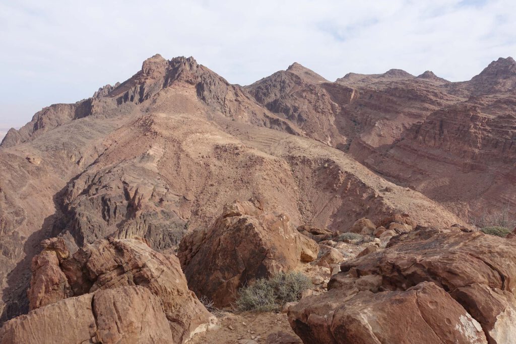
To fill some of the gaps in the archaeological data and understanding, there is a particularly important question around the site of Qurayyat al-Mansur, a large mountain-top site in the rugged region of the Wadi Feid, c. 16 km north of Petra, overlooking the Wadi Arabah.
Briefly surveyed in 2004, Ulrich Hübner called it the second largest Iron Age settlement so far discovered in Edom, after the capital Busayra, and suggested it was a very significant Edomite site. The summit and terraces have dense concentrations of dry-stone, broad-room houses, and there is a town wall and a single gateway. Despite the site’s remote location, rugged topography, and relative inaccessibility, its size, and the presence of a town wall and gateway, imply a significant Iron Age site. If it was an important, fortified trading settlement, then it must have been connected by routes across the rocky landscape south to Petra, north to Busayra, and west to the trade routes to the Mediterranean.
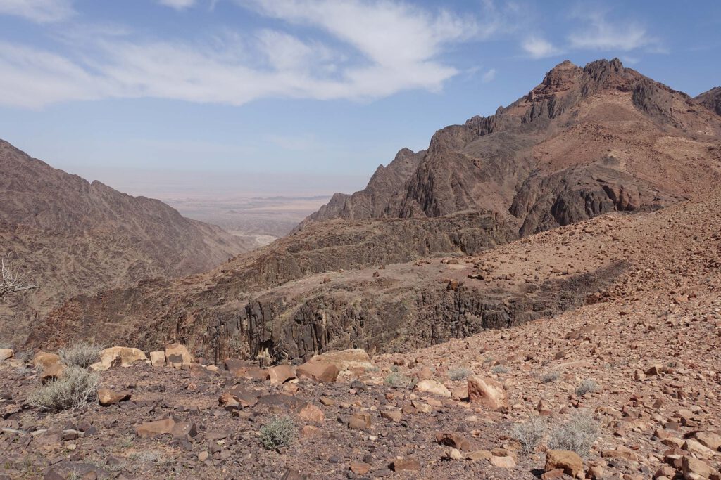
The aim of the Roads to Mansur Project (RMP) is to survey, map and date the routes in the mountainous landscape connecting to Qurayyat al-Mansur by the use of drones to better understand its location, function and connections, and to develop the discussion on the Edomite mountain-top sites in a new direction.
Briefly surveyed in 2004, Ulrich Hübner called it the second largest Iron Age settlement so far discovered in Edom, after the capital Busayra, and suggested it was a very significant Edomite site. The summit and terraces have dense concentrations of dry-stone, broad-room houses, and there is a town wall and a single gateway. Despite the site’s remote location, rugged topography, and relative inaccessibility, its size, and the presence of a town wall and gateway, imply a significant Iron Age site. If it was an important, fortified trading settlement, then it must have been connected by routes across the rocky landscape south to Petra, north to Busayra, and west to the trade routes to the Mediterranean.
The aim of the Roads to Mansur Project (RMP) is to survey, map and date the routes in the mountainous landscape connecting to Qurayyat al-Mansur by the use of drones to better understand its location, function and connections, and to develop the discussion on the Edomite mountain-top sites in a new direction.